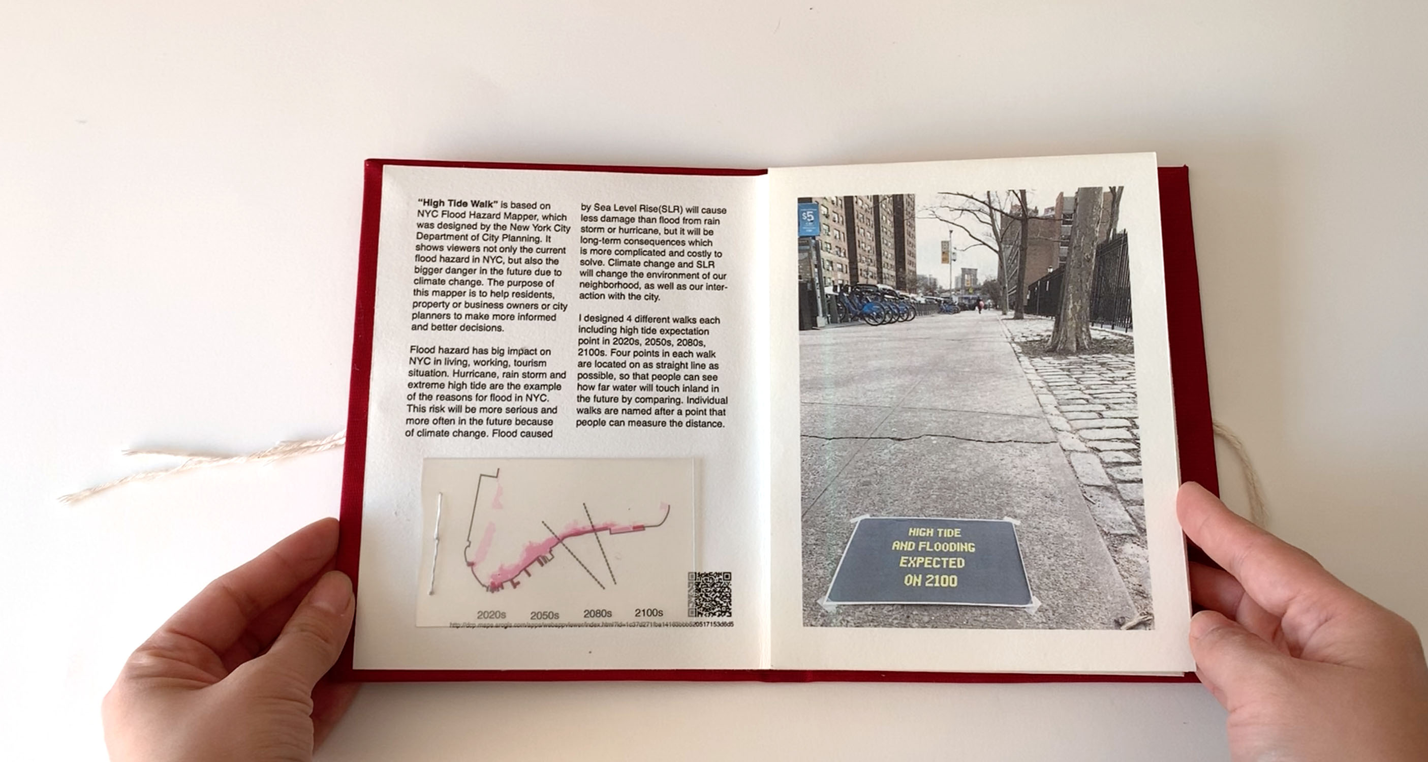
High Tide Walk is based on NYC Flood Hazard Mapper, which was designed by the New York City Department of City Planning. It shows viewers not only the current flood hazard in NYC, but also the bigger danger in the future due to climate change. The purpose of this mapper is to help residents, property or business owners or city planners to make more informed and better decisions.
Flood hazard has big impact on NYC in living, working, tourism situation. Hurricane, rain storm and extreme high tide are the example of the reasons for flood in NYC. This risk will be more serious and more often in the future because of climate change. Flood caused by Sea Level Rise(SLR) will cause less damage than flood from rain storm or hurricane, but it will be long-term consequences which is more complicated and costly to solve. Climate change and SLR will change the environment of our neighborhood, as well as our interaction with the city.
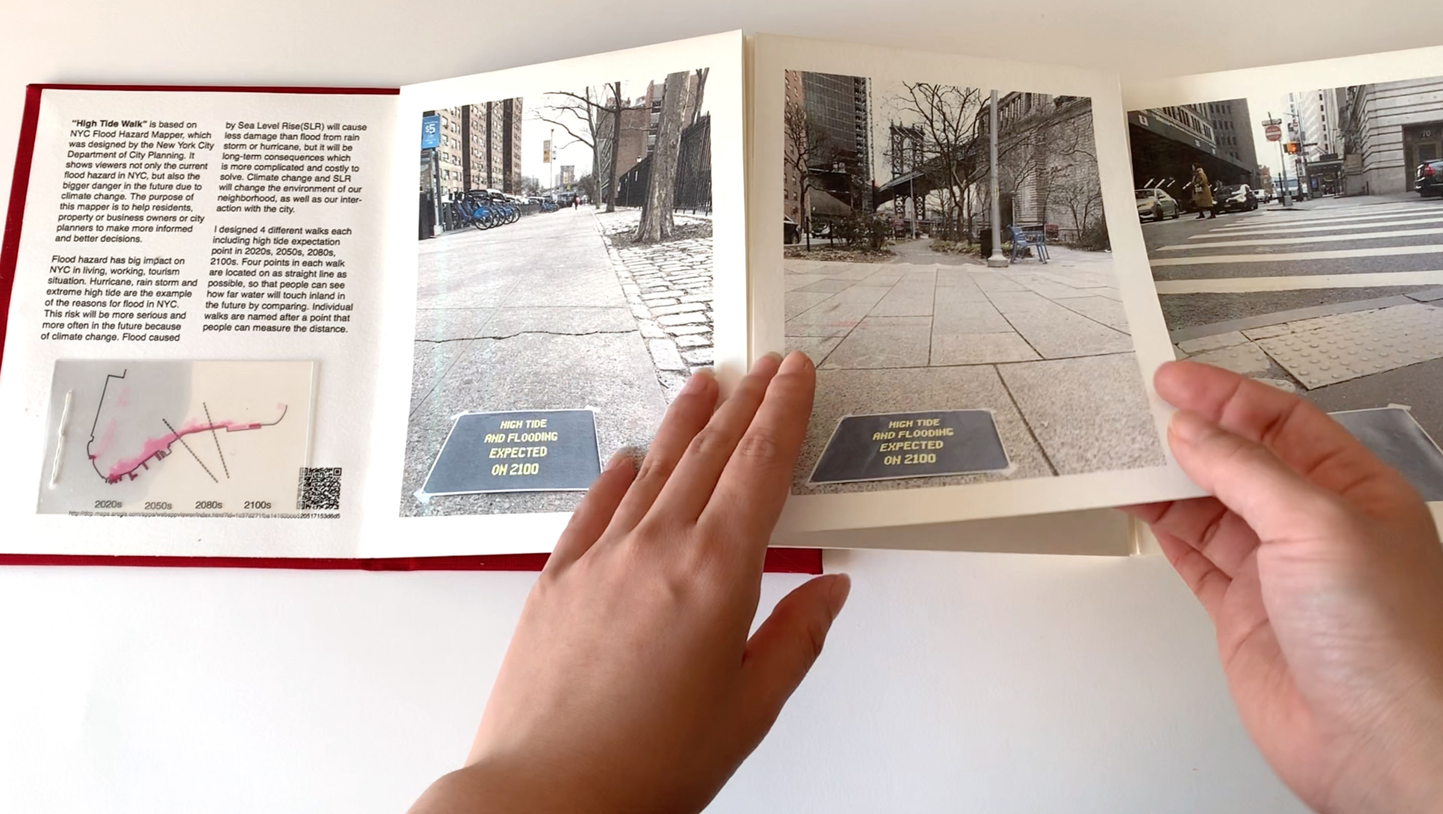
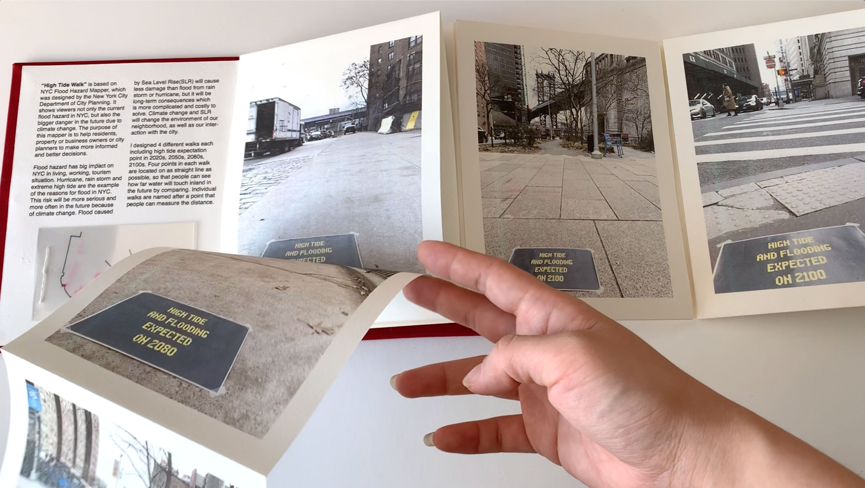
I designed 4 different walks each including high tide expectation point in 2020s, 2050s, 2080s, 2100s. Four points in each walk are located on as straight line as possible, so that people can see how far water will touch inland in the future by comparing. Individual walks are named after a point that people can measure the distance.